


- BLOG LOCATION2ALPES.COM
Easy hikes in Les 2 Alpes for beginners
Everything you need to enjoy a mountain walk, even with no previous experience.

Universe
Location2alpes
Collection
Alpine
Reading
6 min
Share
What to read in this guide
Check out the key points from this article to plan your trip, explore the area, and organize your outing to Les 2 Alpes.
What you need to know
Easy hikes in Les 2 Alpes for beginners: difficulty criteria, beginner-friendly routes, weather, access and safety advice for a relaxed outing.
Introduction
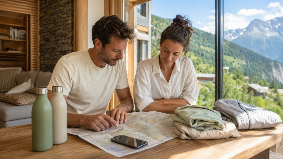
An easy hike can feel very different depending on elevation gain, terrain, altitude, weather and the group’s abilities. In Les 2 Alpes, the right choice is therefore not simply the shortest route, but the one whose description genuinely matches your needs.
This guide explains how to read difficulty criteria, distinguish accessible walks from more demanding routes, check lift access and plan a reliable return. It also identifies the official sources to consult that morning and useful habits for children or beginner walkers.
To prepare your accommodation, see apartments for rent in Les 2 Alpes.
Chapter
01
How to recognise an easy hike in Les 2 Alpes
Everything you need to enjoy a mountain walk, even with no previous experience.
What criteria are used to assess difficulty?
An easy hike is not defined by distance alone. Terrain, elevation gain, duration, altitude, exposure, path quality and the group’s abilities all matter.
The Écrins National Park provides useful reference points: a “very easy” walk is generally under 6 km and under two hours, with no particular difficulty; an “easy” hike is more likely to last two to three hours, with elevation gain that may approach 400 m. These categories remain indicative, as mud, strong sun or a tired child can change how a route feels.
Before choosing, read the complete route description: distance, ascent and descent, route type, altitude, duration, terrain and any exposed sections. Never infer difficulty from colour alone, as legends vary between maps and activities.
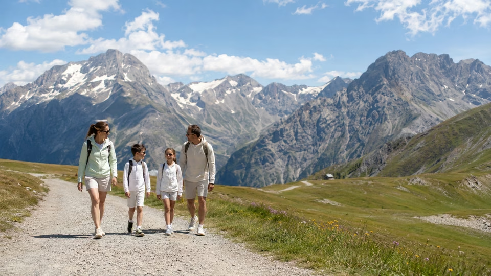
These walks may suit beginners, families and multi-generational groups, provided the route is chosen for the least confident person. Age alone is not enough: consider walking experience, balance, fatigue, altitude and how everyone feels that day.
With young children, look for a wide, even path without exposed sections and with an easy turnaround option. For a pushchair, require an explicit accessibility statement in the route description; “family-friendly” does not automatically mean “pushchair-friendly”. With a child carrier, adjust duration, breaks and protection from sun or cold.
For mixed abilities, choose a modest objective and a clear turnaround point. A short, enjoyable outing is better than an ambitious route completed in fatigue. For a first idea of an outing, see hiking in Les 2 Alpes.
Who are these hikes designed for?
Official maps and route sheets show difficulty, but their colour codes are not universal. Always read the legend and technical details instead of relying on green or blue. If the group includes a child, older walker or beginner, also check path width, exposure, surface and the possibility of turning back.
If in doubt, never hesitate to ask a local professional in person: the tourist office can point you towards a route suited to your current condition.
On this page
Extend the experience

The Resort Guide
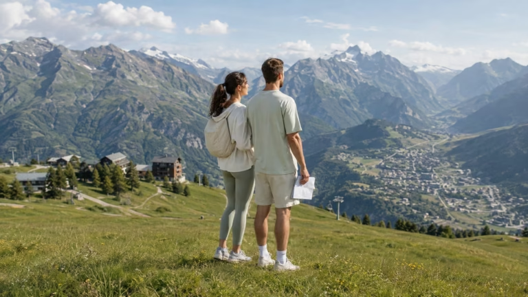
Plan your trip by exploring the must-see attractions in Les 2 Alpes: activities, scenery, practical tips, and top spots to help you make the most of your time at the resort.
Chapter
02
Accessible options in the resort: key routes and useful landmarks
Everything you need to enjoy a mountain walk, even with no previous experience.
How can you identify routes that are genuinely suitable for beginners?
The resort publishes several waymarked walks accessed by summer lifts, with very different difficulty levels. Shorter options include Vallée Blanche, described as very easy and flat, plus the easy Apprenti Cabri loop and Princes des Écrins out-and-back route. Les Balcons du Vénéon offers two loops, including a shorter version, although altitude and weather still matter.
By contrast, the descent towards Venosc is rated moderate, and an outing on the Plateau d’Emparis should not be treated as a generic beginner walk without a precise route sheet: distance, ascent and access vary greatly by starting point.
For every option, check the official route description and live lift openings that day. Published outing times may include lift travel and breaks.
For longer outings, see Lac du Lauvitel or Lac de la Muzelle, which are more demanding than a beginner walk.
Before choosing a walk, check:
- Distance, ascent and profile: look at both climbing and descending, not kilometres alone.
- Terrain and exposure: wide or narrow path, stones, mud, streams, snowfields or exposed sections.
- Seasonality: access depends on snow, winter damage, footbridges and weather, and varies each year.
- Access and return: parking, shuttle or lift, the last useful service and a backup if it stops.
- Realistic duration: include breaks, waiting and the pace of the slowest person.
Check live information that morning and turn back if a section is damaged or does not match the expected level.
What should you check before choosing a walk?
For a first outing, choose a short official route sheet, simple access and a return that does not depend on a lift if you are unsure of its timetable. High-altitude walks accessed by lift offer fine views, but require checks on wind, temperature and domain opening.
The Lac de la Buissonnière leisure area is easy to reach; however, do not confuse access to the lake with a hiking loop automatically suited to every type of equipment. For other bodies of water, see the lakes around Les 2 Alpes.
By bringing this information together, you can choose a suitable route after confirming that it is passable on the day. For official information, consult the official Les 2 Alpes website.
On this page
Extend the experience
3600 m
Elevation of the Les 2 Alpes Glacier
Going Out in Les 2 Alpes
“The best restaurant isn't always the one with the highest rating”
Stay
A Summer in the Great Outdoors
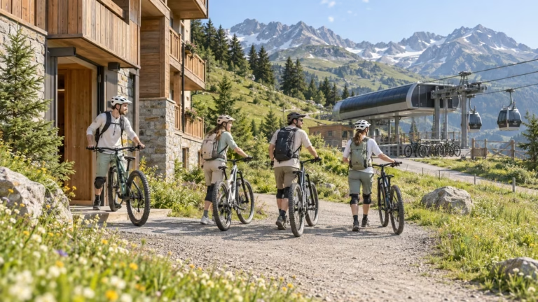
Discover the best summer activities in Les 2 Alpes: hiking, mountain biking, high-altitude lakes, panoramic views, and mountain adventures to make the most of your stay.
Chapter
03
Things to watch out for and practical tips before you set off
Everything you need to enjoy a mountain walk, even with no previous experience.
What common pitfalls should you avoid?
A short hike may still be demanding if it concentrates its elevation gain, crosses uneven terrain or takes place at altitude. Read the full profile and do not rely on the stated time alone.
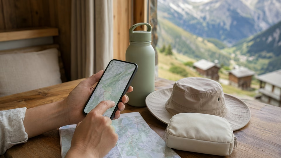
General hiking apps can help with navigation, but their tracks, comments and walking times do not replace an up-to-date local route sheet. Download the map for offline use and compare it with information from the resort, Oisans Tourisme or Écrins National Park depending on the area.
If the route depends on a shuttle or lift, check opening and the last useful return. Plan a simple alternative if the service stops or the weather deteriorates.
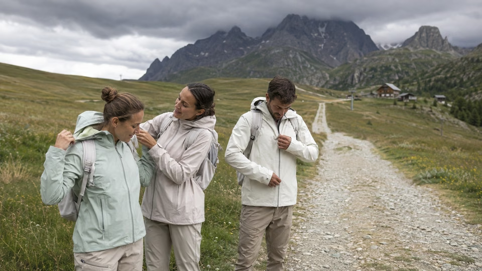
Mountain weather can change quickly, even in summer. After a storm, an easy path may become muddy, a stream may rise and rocky sections may turn slippery. Early in the season, lingering snowfields or footbridges not yet installed can also affect access.
Check the mountain forecast and live information that morning. Trails in Écrins National Park are generally accessible from mid-June to late September, but dates vary with snow, winter damage and current conditions.
Shuttles and lifts follow seasonal calendars. If conditions become unstable, choose a lower, shorter walk that is easy to abandon. For the season, see summer in Les 2 Alpes and the Les 2 Alpes weather forecast.
How do weather and season affect your choice?
Prepare an offline map, a charged phone and the European emergency number 112. Carry water suited to the duration, heat and group, and never rely on a water point without confirmation that it is potable and available.
With young children, choose an out-and-back route or short loop with an obvious turnaround point. Take breaks before fatigue sets in and abandon the route if the terrain becomes harder than expected. Avoid isolated or poorly waymarked areas when you lack experience, whatever the season.
Online photos and reviews may be old or show only the easiest part of a route. Use them as supporting information, never as proof that a trail is currently passable. For same-day conditions, prioritise official information and advice from the tourist office, National Park visitor centres or a qualified mountain leader.
On this page
Stay tuned on Location2alpes
A Live Preview
to get a sense of what to expect before coming to Les 2 Alpes
Updated data
24 hours a day, nonstop
8 Strategic Perspectives
about the resort, the glacier, and the peaks
Useful all year round
winter, summer, weather, events, ...
The Flavors of Les 2 Alpes
Cozy dining, mountain cuisine, terraces with panoramic views, and welcoming spots: explore our top recommendations for great dining in Les 2 Alpes.
Inspirations
“The best memories are rarely planned.”
— Local Guide
Chapter
04
Planning your outing with confidence: final checks and useful resources
Everything you need to enjoy a mountain walk, even with no previous experience.
Where can you find verified information before setting off?
Before setting off, consult routes published on the official Les 2 Alpes website and live weather and lift information. The tourist office can supplement this with a map, advice suited to the group and any alerts known at the time of your visit.
For routes in or near Écrins National Park, also use the Destination Écrins platform and Park visitor centres. As trail conditions are not checked daily, remain observant and turn back if a section is damaged or dangerous.
Times, closures and facilities change, so save official pages on your phone rather than relying on an old screenshot or undated brochure.
A qualified mountain leader can help select a suitable route and explain the terrain; check services, availability and prices directly with the professional.
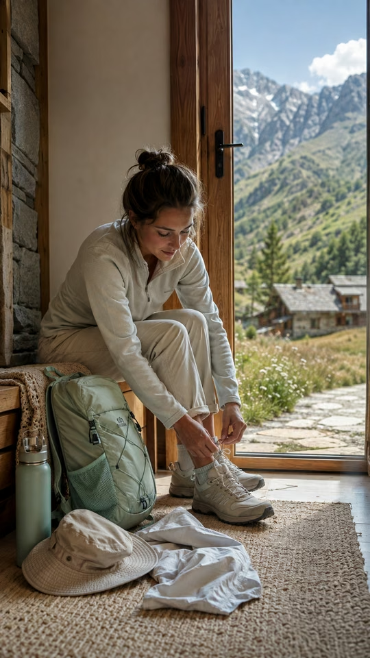
For an easy walk, pack suitable footwear, a light jacket, sun protection, a hat, water and a small food reserve. Water needs depend on heat, duration and the people involved, so one litre per person should not be treated as a universal rule.
With a child carrier, check the fit and protect the child from sun, wind and cold. Before relying on rental equipment, a picnic area or another service, confirm that it exists and is open for your dates.
What local advice helps ensure a successful first experience?
Check the exact starting point, parking or shuttle stop, whether the route depends on a final service, any confirmed potable water points and toilet availability. If information is missing, assume the service is not guaranteed.
At the trailhead, compare actual conditions with the route sheet: waymarking, path width and terrain. Feedback from other walkers may help, but it does not replace an official source or your own decision to turn back.
Before departure, save the official route sheet, offline map, weather forecast and any useful timetables. Then check updates from the resort or National Park depending on the area; do not assume that a partner app will send safety alerts.
This simple preparation lets you adapt the route to your pace and enjoy the mountains without relying on mobile coverage or an unconfirmed service.
On this page
Location2Alpes Collection
Places we love to return to
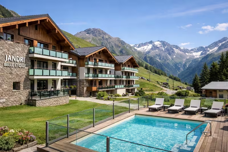
Apartments selected for their location, comfort, and atmosphere, so you can enjoy Les 2 Alpes with complete freedom.
Plan Your Trip
to Les 2 Alpes
Discover our apartments, ideally located so you can make the most of your stay
Continue the adventure
Les plus beaux souvenirs commencent souvent après le dernier conseil
Conclusion
To choose an easy hike in Les 2 Alpes, start with the technical route sheet and compare it with the abilities of the least experienced person. Distance, elevation gain, terrain, altitude and the option to turn back matter more than a colour alone.
That morning, check the weather, route conditions and any useful lift or shuttle openings. Carry an offline map, water, an extra layer and a charged phone. If the terrain does not match the description or conditions deteriorate, turn back without hesitation.
A shorter, well-chosen outing leaves time for breaks and scenery, and is often the best way to discover the mountains with confidence.
What's next? Choose your next step
Key Points
The right choice depends on the pace of your trip and what you're looking for.
Keep your options open for impromptu evenings out.
A well-located place to stay makes dining out and getting around easier.
Practical information
Season: Summer / Winter
Reading time: 6 min
Area: Les 2 Alpes
Altitude : 1,650 m
Audience: Families, Couples, Groups
Live webcams
LES 2 ALPES
The Glacier
3,400 m above sea level
8 HD webcams
Continuous Updates
Check the weather all year round
Check out the weather, snow conditions, and atmosphere at the resort in real time.
Frequently asked questions
Find answers to the most common questions about our products. Julia ensures transparency, efficiency, and detailed information in everything we do.

Local Guide
Find the best moments from your article
The Location2alpes Blog
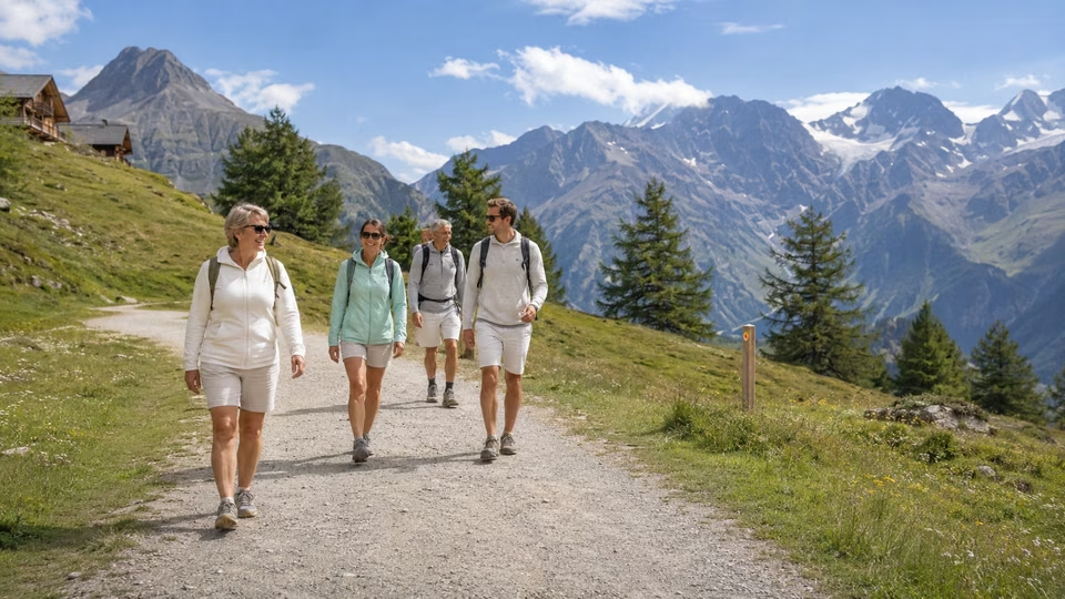
Discover tips, trends and ideas to help you prepare for your stay in the mountains, and discover fantastic places and addresses. Julia and the team regularly prepare new articles for you, so don't hesitate to visit our blog regularly.
Latest articles:

- Explore Les 2 Alpes
What would you like to explore ?
Get quick access to the resort's highlights, activities, top spots, and practical tips to help you plan your trip.