


- BLOG LOCATION2ALPES.COM
Hike to Lac de la Muzelle and its refuge: a practical guide
Level, route, refuge booking, weather and safety: the essentials for planning the Muzelle hike without surprises.

Universe
Location2alpes
Collection
Alpine
Reading
6 min
Share
What to read in this guide
Check out the key points from this article to plan your trip, explore the area, and organize your outing to Les 2 Alpes.
What you need to know
Hike to Lac de la Muzelle and its refuge: level, access from Vénosc, refuge booking, weather and safety tips to help you plan your outing.
Introduction
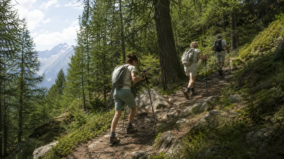
Planning a hike to Lac de la Muzelle and its refuge is more than following a path: you need to consider your fitness, the time available and real mountain conditions. Between the wish for a high-mountain panorama, the appeal of a night in a refuge and the risk of underestimating the effort, the choice deserves to be an informed one.
The Muzelle lies in the Écrins massif. It is neither an easy stroll nor an outing reserved for mountaineers: it is a genuine mountain hike, and one that needs planning. This guide helps you choose your route, check the essential points (weather, refuge, equipment) and decide whether this outing suits you.
Walking times, ascent, refuge opening and conditions vary from year to year: always check with the refuge, the Écrins National Park and the tourist office before setting out. For other ideas, see our article on hiking in Les 2 Alpes.
Chapter
01
Discovering the hike to Lac de la Muzelle and its refuge
Level, route, refuge booking, weather and safety: the essentials for planning the Muzelle hike without surprises.
Levels and profiles: who is the route for?
This hike appeals to walkers seeking panoramas as well as those who want a first night in a mountain refuge. Honestly assess your expectations and level before committing.
Occasional hikers: the climb is gradual but sustained, and the effort is continuous. The return along the same path is a long descent that tires the legs.
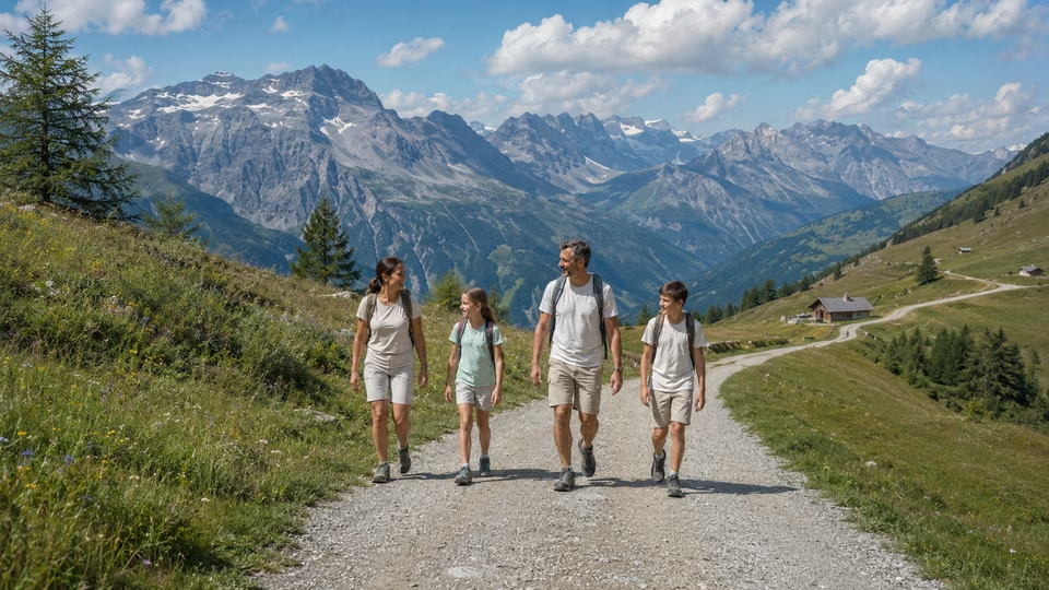
Active families: possible with teenagers used to hiking with significant ascent. Younger children need attentive supervision and motivation throughout the climb.
Regular walkers: you will appreciate the unspoilt environment and the refuge atmosphere during the season.
Beginners: assess your stamina seriously, or start with a shorter outing, such as those among the lakes around Les 2 Alpes.
For accommodation near the start, see Vénosc.
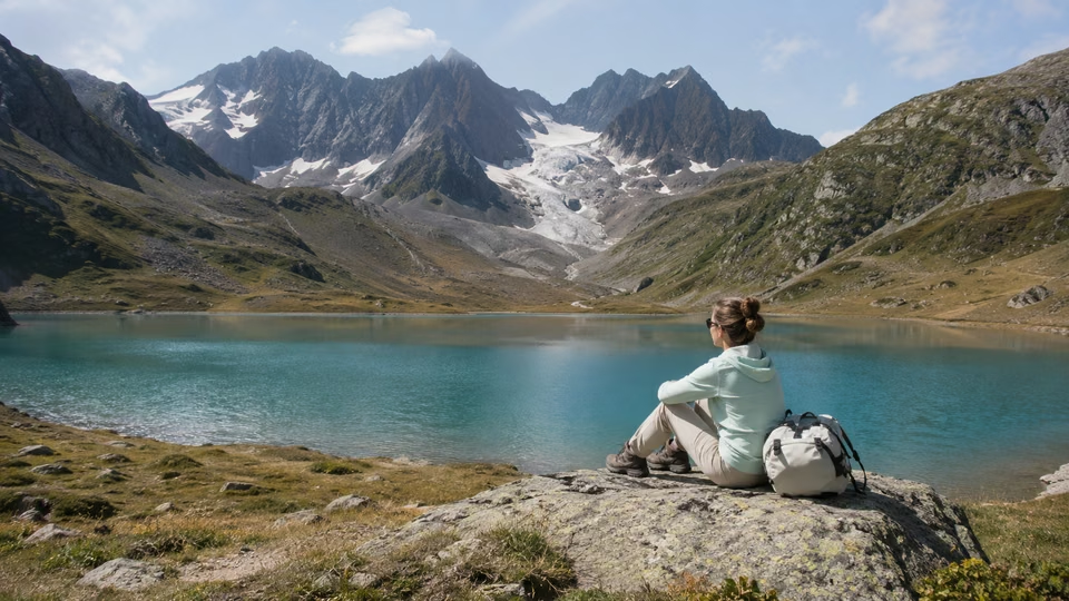
The Muzelle is a genuine mountain route, not to be underestimated. The path starts in the Vénéon valley, in the Vénosc area, and is waymarked but demanding, and snowfields can remain early or late in the season. The climb passes through forest, then opens onto a high-altitude cirque around the lake.
The ascent and remoteness call for real organisation: check your fitness, take enough water, watch the weather (afternoon storms can be formidable) and book the refuge in advance. A few days before leaving, find out about the state of the path from the tourist office or the refuge.
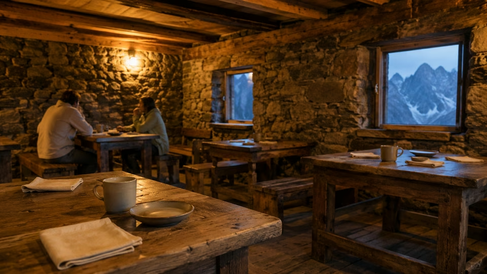
For photographers, morning or evening light on the lake justifies the effort, but safety always comes before the picture. Outside the refuge’s opening period, staying overnight requires suitable bivouac equipment and compliance with the Écrins National Park regulations: find out before you go.
Key points to know before setting out
In short, the Muzelle suits those who want an authentic Alpine immersion and are ready to manage a sustained effort, with particular attention to the weather and equipment.
Well prepared, the hike offers panoramas, authenticity and a sense of achievement. If you like high-altitude lakes, see also Lac du Lauvitel.
On this page
Extend the experience
The Resort Guide
Plan your trip by exploring the must-see attractions in Les 2 Alpes: activities, scenery, practical tips, and top spots to help you make the most of your time at the resort.
Chapter
02
Comparing routes and preparing your itinerary
Level, route, refuge booking, weather and safety: the essentials for planning the Muzelle hike without surprises.
Maps, access and choosing your route
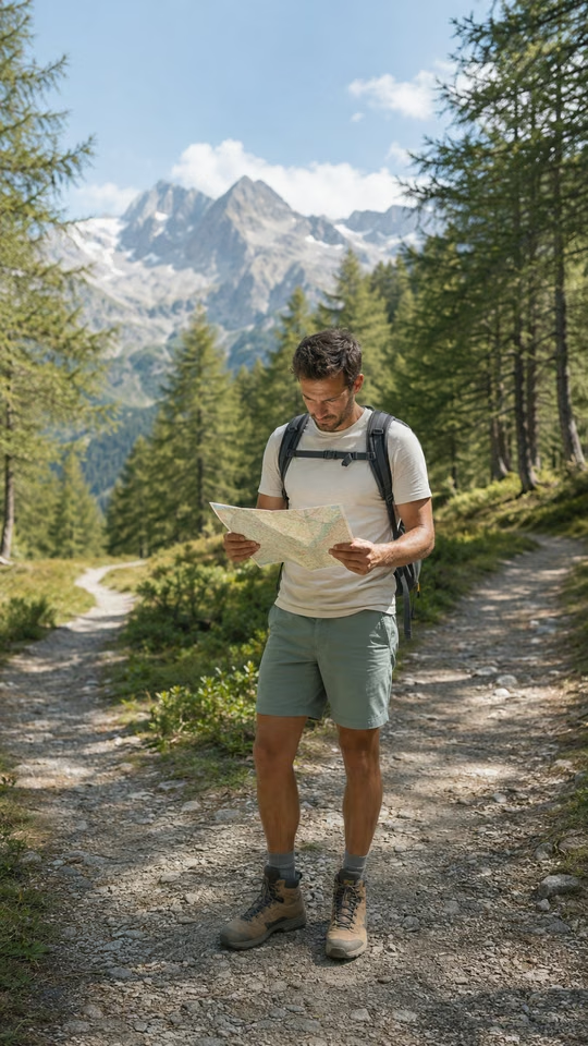
The most common access starts from the Vénéon valley, near Vénosc, which can be reached from Les 2 Alpes by gondola, depending on its opening periods, or by road. The path is waymarked and first crosses forest before opening onto the final cirque. Other variants exist, longer or more committing, notably via neighbouring passes: they require excellent preparation, a good sense of direction and stable conditions.
Take an up-to-date IGN map (the Top 25 series for the area) or a mapping app with the track downloaded. Before leaving, check the refuge’s opening and booking conditions, and the state of the path (fallen trees, rockfalls, residual snow). For seasonal activities, see summer in Les 2 Alpes.
Classic mistakes: underestimating the time or ascent and leaving too late in the morning, at the risk of being caught by high-altitude storms.
Water is another common oversight: do not count on reliable water points along the way, and carry enough, more in hot weather.
For the refuge, book early, especially in summer and for groups. Equipment: mountain boots, layered clothing, waterproof jacket, poles, head torch. Always tell someone your route and your expected return time.
The day before, check the mountain weather (the Les 2 Alpes weather forecast and specialist forecasts) and give up if storms are forecast. The refuge keeper knows the state of the path better than anyone: do not hesitate to call.
Practical checks and common mistakes to avoid
Comparing routes lets you adapt the outing to your pace, wishes and level, and anticipate the details that make the difference on the day.
By planning access, adapting your equipment and listening to local advice, you make your outing safer. For general information, see the official Les 2 Alpes website.
On this page
Extend the experience
3600 m
Elevation of the Les 2 Alpes Glacier
Going Out in Les 2 Alpes
“The best restaurant isn't always the one with the highest rating”
Stay
A Summer in the Great Outdoors
Discover the best summer activities in Les 2 Alpes: hiking, mountain biking, high-altitude lakes, panoramic views, and mountain adventures to make the most of your stay.
Chapter
03
Getting organised: budget, weather and logistics
Level, route, refuge booking, weather and safety: the essentials for planning the Muzelle hike without surprises.
Costs to plan for: transport, refuge, equipment
Include every expense to avoid surprises.
Transport: the Vénosc gondola’s hours and fares change with the season: check them on the official website. If it is closed, plan for the road or another way of getting there.
Refuge: the overnight stay, half board and extras vary with age and status. Rates and booking conditions are published by the refuge: check its official website or booking platforms.
Equipment: if you are not equipped, ask about hire from the resort’s shops.
Meals: plan packed lunches and energy snacks.
The calendar depends on snow cover and the refuge’s opening.
Season: the safest period is in summer, when the snow has melted and the refuge is open. Outside it, access may be compromised by lingering snow: check the refuge’s website for opening dates.
Weather: it changes quickly in the mountains. Check the local forecast the day before and on the morning of departure. Summer storms may force you to give up.
Precautions: set off early to avoid afternoon instability, and carry a waterproof, a hat and a survival blanket, as the weather can turn quickly.
Seasons and weather: when to go and what precautions to take
Careful planning of budget and calendar improves the experience: by anticipating peak season and the weather, you avoid a full refuge, closed transport or an impassable route. The valley remains relatively remote: unforeseen events and extra costs are more common there. To clear up any remaining doubts, contact us or ask the tourist office.
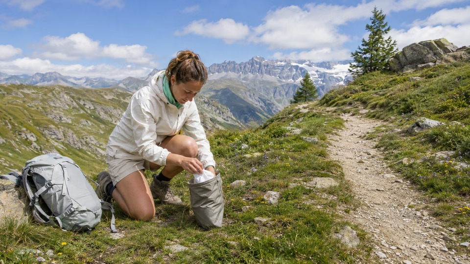
Before booking, list all your expenses, including the little extras. On multi-day trips or in the shoulder seasons, think about waste management (an extra bag) and the real availability of food at the refuge, which may be reduced. Check the state of the paths with the refuge or recent hiking sources to adjust your timing.
On this page
Stay tuned on Location2alpes
A Live Preview
to get a sense of what to expect before coming to Les 2 Alpes
Updated data
24 hours a day, nonstop
8 Strategic Perspectives
about the resort, the glacier, and the peaks
Useful all year round
winter, summer, weather, events, ...
The Flavors of Les 2 Alpes
Cozy dining, mountain cuisine, terraces with panoramic views, and welcoming spots: explore our top recommendations for great dining in Les 2 Alpes.
Inspirations
“The best memories are rarely planned.”
— Local Guide
Chapter
04
Practical advice for an outing without nasty surprises
Level, route, refuge booking, weather and safety: the essentials for planning the Muzelle hike without surprises.
Local tips and official resources to consult
Waymarking and maps: the paths are waymarked, but high-altitude variants call for more vigilance. Rely on an up-to-date IGN map and a downloaded track, and ask the refuge or the tourist office whether recent works or rockfalls hinder the way.
Booking: contact the refuge in advance, especially for special needs (allergies, diets), and especially in summer.
Services: do not expect shops along the path. Be self-sufficient in water and food.
Emergency: in an accident, call 112. Mobile coverage can be weak or absent in places: tell someone your route.
- Check the weather, the state of the path and the refuge’s opening
- Confirm your booking and meals at the refuge (mention special diets)
- Equipment: hiking boots, poles, waterproof jacket, fleece, head torch, hat, gloves, first-aid kit, survival blanket, map and downloaded GPS track, charged phone and power bank
- Enough water and food for the climb
- Check the Vénosc gondola timetable
- Tell someone your route and estimated return time
- Bring a bag for your waste
- Plan a suitable means of payment, as cards are not always accepted at altitude
Final checklist before you go
Success on the hike depends on practical details as much as fitness. When you reach Vénosc or the refuge, ask for the latest information on the path. If in doubt during the climb, stay in a group or within sight of other hikers.
The lake is remote and network coverage is weak: be self-sufficient, and do not expect to find forgotten gear at the refuge.
Stay flexible: be ready to turn back if the weather changes or to adapt your route to advice received the day before. Do not underestimate the conditions or the duration of the climb, which varies greatly with each person’s fitness. By keeping a margin, your outing will above all remain a good memory.
On this page
Location2Alpes Collection
Places we love to return to
Apartments selected for their location, comfort, and atmosphere, so you can enjoy Les 2 Alpes with complete freedom.
Plan Your Trip
to Les 2 Alpes
Discover our apartments, ideally located so you can make the most of your stay
Continue the adventure
Les plus beaux souvenirs commencent souvent après le dernier conseil
Conclusion
Preparing a hike to Lac de la Muzelle and its refuge calls for a balance between planning, personal choices and trust in local resources. Depending on the season, the group’s level and the weather, it suits a sporty day trip as well as a stay with a night in the refuge.
Target your priorities: choose the route according to your fitness, check the refuge’s opening and the waymarking in advance, and do not set out without the necessary equipment. Even in fine weather, high mountains hold surprises: keep a plan B, notably turning back or cutting the outing short in fog or lingering snow.
Consult official resources, notably the local weather, and take time to talk with the refuge keeper or other hikers to learn the real state of the path.
Succeeding on this hike means combining preparation, caution and the pleasure of discovery.
What's next? Choose your next step
Key Points
The right choice depends on the pace of your trip and what you're looking for.
Keep your options open for impromptu evenings out.
A well-located place to stay makes dining out and getting around easier.
Practical information
Season: Summer / Winter
Reading time: 6 min
Area: Les 2 Alpes
Altitude : 1,650 m
Audience: Families, Couples, Groups
Live webcams
LES 2 ALPES
The Glacier
3,400 m above sea level
8 HD webcams
Continuous Updates
Check the weather all year round
Check out the weather, snow conditions, and atmosphere at the resort in real time.
Frequently asked questions
Find answers to the most common questions about our products. Julia ensures transparency, efficiency, and detailed information in everything we do.

Local Guide
Find the best moments from your article
The Location2alpes Blog
Discover tips, trends and ideas to help you prepare for your stay in the mountains, and discover fantastic places and addresses. Julia and the team regularly prepare new articles for you, so don't hesitate to visit our blog regularly.
Latest articles:
- Explore Les 2 Alpes
What would you like to explore ?
Get quick access to the resort's highlights, activities, top spots, and practical tips to help you plan your trip.