


- BLOG LOCATION2ALPES.COM
Hiking around Les 2 Alpes: discover the best trails
Choose the ideal route for your level and interests, safely, for a successful hiking experience in Les 2 Alpes.

Universe
Location2alpes
Collection
Alpine
Reading
6 min
Share
What to read in this guide
Check out the key points from this article to plan your trip, explore the area, and organize your outing to Les 2 Alpes.
What you need to know
Best hiking trails in Les 2 Alpes: family-friendly paths, high-altitude lakes or sportier loops, with tips and difficulty levels.
Introduction
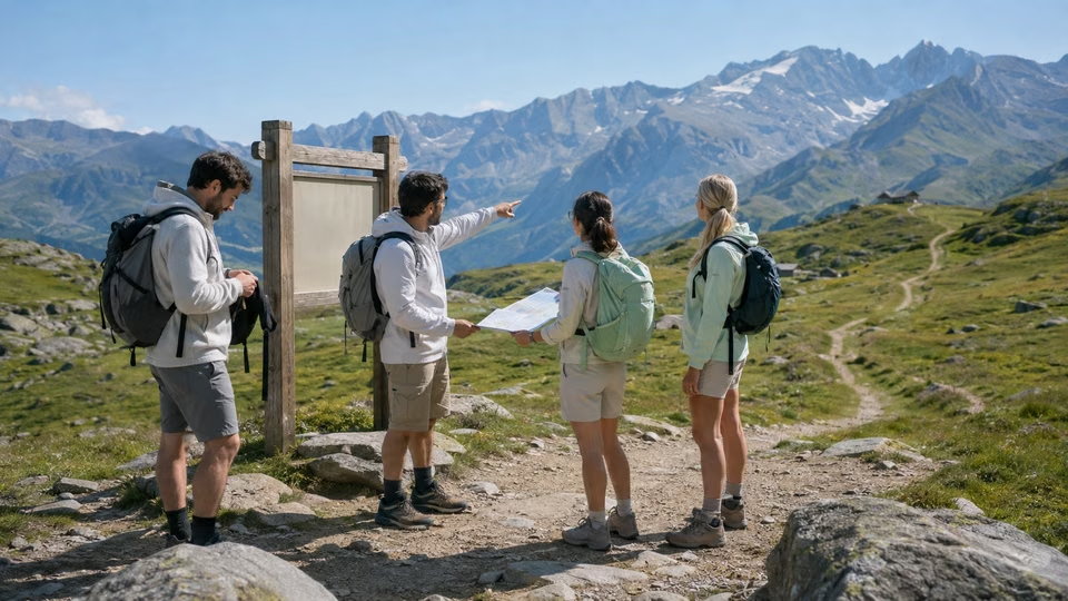
Planning a hike around Les 2 Alpes means discovering one of the most varied Alpine areas, with high-altitude panoramas and hidden valleys accessible to all. But not every trail is the same: difficulty, duration, weather and logistics can all turn a walk into a pleasure… or an unpleasant surprise.
This guide is designed for every type of hiker: families with children, beginners eager for nature, experienced walkers or sporty travellers looking for a challenge. It offers a carefully selected local overview, based on official difficulty levels, on-the-ground feedback and recommendations from Les 2 Alpes mountain professionals.
Here you’ll find practical advice to help you plan the essentials: how to assess your level objectively, where to find the route best suited to your situation or the day’s weather, and what habits to adopt before setting off with confidence.
Far from an impersonal list, this guide supports you step by step: spot the key trails at a glance, compare them according to what you want from your hike, and prepare with all the useful information you need to make the most of your hiking stay in Les 2 Alpes.
To plan ahead on this topic: Apartments to rent.
Chapter
01
Who are the hiking trails in Les 2 Alpes suitable for?
Choose the ideal route for your level and interests, safely, for a successful hiking experience in Les 2 Alpes.
Know your level and choose the right route
In Les 2 Alpes, the wide variety of routes means everyone – from casual walkers to experienced hikers – can find a trail that suits them. The basis of any good choice starts with an honest assessment of your experience level and physical fitness:
• Beginner or occasional walker: look for short, well-signposted routes with little exposure, ideally with shortcuts or easy ways out. Trails labelled “very easy” and “easy”, such as the Bois de la Fée circuit or the Balcons de Venosc trail, are ideal, especially if you are walking as a family.
• Intermediate: comfortable with 2- to 3-hour outings, you enjoy alternating climbs and descents on stable paths. “Moderate” routes, such as the Tour du Plateau d’Emparis or the Lac Lauvitel loop (with a steep climb at the start), offer a real change of scenery without being too technically demanding.
• Experienced or sporty: you are looking for a challenge, long distances, elevation gain and high-altitude sections. Routes graded “difficult”, such as the ascent to the Refuge de la Muzelle or the Col du Vallon loop, require stamina, sure-footedness… and serious preparation.
Practical tip: the Maison du Parc and the Les 2 Alpes Tourist Office display the difficulty levels for each trail (official maps are available to view on site). Do not hesitate to ask for advice if you are unsure: underestimating a trail is always wiser than doing the opposite.
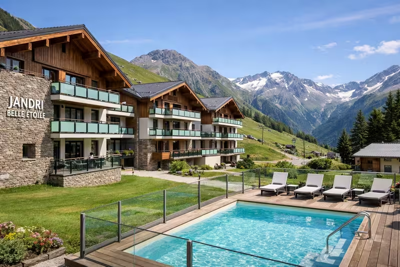
To compare options: Belle Etoile Jandri Les 2 Alpes.
For families and beginners, choose gentle trails marked in green (very easy) or blue (easy). Several starting points can be reached directly from the resort, avoiding complicated logistics with children. The Lac de la Buissonnière trail or the walk along Venosc are ideal: short loops, limited risk and beautiful scenery guaranteed.
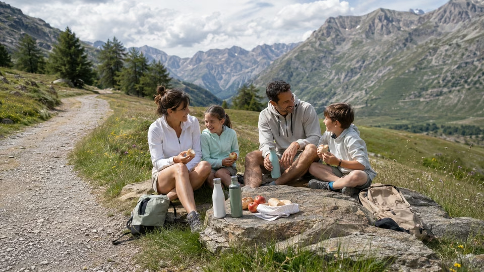
To make the most of a family hike, choose routes with picnic areas, water points and easily accessible “reward” viewpoints, such as the Crêtes orientation table or the Lac de la Muzelle viewpoint.
Sportier walkers will enjoy trails that climb quickly to altitude, such as the route up to the glacier accessible from the Jandri Express, provided you are well prepared and have suitable equipment. Check average walking times and possible route variations, depending on whether your goal is performance or simply enjoyment.
The most important thing is to adapt your choice on the day, taking into account the weather, trail conditions and the people in your group. Listen to how you feel, and never hesitate to shorten or change your route: in the mountains, caution is always the most important quality.
To find other suitable activities: Les 2 Alpes BLOG.
Tips for families, beginners and experienced hikers
Identifying your hiking profile before setting off on the trails around Les 2 Alpes is essential for a successful, stress-free experience. On-site signs, route guide sheets and advice from local professionals help you avoid misjudging the real difficulty of the walks. By choosing according to your interests and abilities – whether that means a half-day family introduction or a sporty hike to the summit – everyone can find the right trail here.
To help plan the rest of your stay: Hiking around Les 2 Alpes: discover the best trails.
Please note: a path considered “easy” can still involve challenges linked to altitude, weather or sun exposure. Checking locally before you set off is often the best way to avoid the only truly bad surprise: finding yourself stuck or out of your depth in the mountains.
This resource is a useful complement to these tips: Hike to Lac du Lauvitel in the Écrins National Park.
On this page



The Resort Guide
Plan your trip by exploring the must-see attractions in Les 2 Alpes: activities, scenery, practical tips, and top spots to help you make the most of your time at the resort.
Chapter
02
Compare the iconic trails of Les 2 Alpes
Choose the ideal route for your level and interests, safely, for a successful hiking experience in Les 2 Alpes.
Highlights and challenges to plan for
Some trails around Les 2 Alpes have become must-do routes, not only for their views, but also for their varied atmospheres and accessibility. Here is a clear overview, with the advantages and points to watch for each type of hiker:
• The Balcons de Venosc loop: an accessible classic for all levels, with beautiful views over the Vénéon valley. Moderate elevation gain (around 270 m), shaded sections, and the option to shorten the loop by taking the gondola down to the village of Venosc. Ideal for families or a first hike, but take care on slippery rocks after rain.
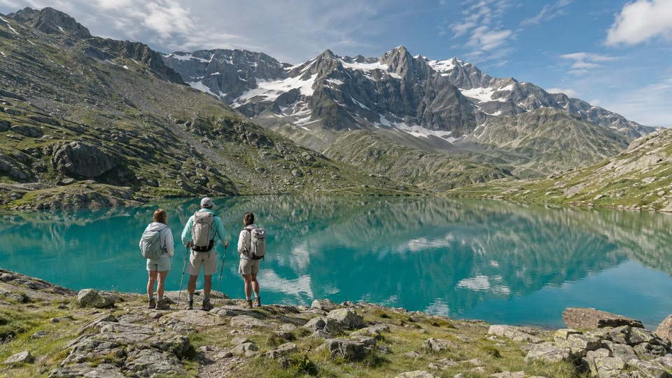
• Lac Lauvitel: a star hike in the Oisans area, reached in around 2 hours via a steady climb (600 m of positive elevation gain), before opening out onto a superb high-altitude lake! The descent can be tough on the knees, but the effort is well rewarded. Be aware that it gets busy in peak season: an early start is recommended.
• The Plateau d’Emparis via the Col d’Arsine: for those looking for a full-day hike, this big loop offers flower-filled plateaux, views of La Meije and wide-open panoramas as far as the eye can see. However, be mindful of wind exposure and the length of the route (over 6 hours).
• The glacier ascent from the Jandri Express: this more demanding trail starts at over 3,000 m altitude. The air is cooler, the sun is stronger and, although the route is not technical, it requires good altitude tolerance and specific equipment (windproof clothing and strong sun protection are essential). A guide is recommended if you are unsure about the route.
In short: each major trail has its own appeal and limitations. Your choice should always be guided by the altitude map, the route profile and recent weather conditions.
On the same theme: Hike to Lac de la Muzelle and the Muzelle refuge.
Access to the trails in Les 2 Alpes varies considerably depending on the season, remaining snow cover and lift opening times.
• Some family walks (Lac de la Buissonnière, the Venosc trail) are available as soon as the snow melts, generally from June onwards.
• High-altitude routes (glacier, Col du Vallon, Plateau d’Emparis) open later, often in early July, and may remain closed until mid-June or even longer after snowy winters. Alternative routes are sometimes signposted to bypass a section that is still snow-covered or closed (check with the Tourist Office or local guides).
• The Jandri Express cable car: this gives easy access to the high plateaux and altitude trails (always check timetables and opening periods, often from mid-June to early September).
For each route, remember to check:
– The total distance and elevation gain (information sheets on site or local guidebooks).
– Walking times are given for an average walker, without breaks: add a 20% margin to avoid any unpleasant surprises.
– Possible route variants: some hikes can be shortened or extended, making it easier to adapt to the weather or the group’s fitness level.
Finally, some trails may be affected by temporary restrictions: livestock (guard dogs), rockfalls or summer works. Nothing replaces up-to-date local information before you set off.
To plan around the day’s conditions: Top 4 lakes around Les 2 Alpes: guide to the best spots.
Access, timings and seasonal route options
Comparing the best-known trails in Les 2 Alpes means looking beyond difficulty alone: you should also consider the atmosphere you want (lakes, ridges, alpine pastures), the logistics (access by car or ski lifts), and the season. Official maps and locally published route guides set out the key points to anticipate for each itinerary.
This page can help you refine your choice: Discover the Écrins National Park and the Oisans massif with the family.
Every hiker, whether beginner or experienced, will benefit from identifying not only the trail they want to do, but also possible alternatives or shortcuts if the unexpected happens. Checking opening conditions, picking up a map or trail sheet from the Tourist Office, and speaking with local professionals remain the best ways to ensure a trouble-free outing.
Another useful resource: official Les 2 Alpes website.
On this page
Extend the experience
3600 m
Elevation of the Les 2 Alpes Glacier
Going Out in Les 2 Alpes
“The best restaurant isn't always the one with the highest rating”
Stay
A Summer in the Great Outdoors
Discover the best summer activities in Les 2 Alpes: hiking, mountain biking, high-altitude lakes, panoramic views, and mountain adventures to make the most of your stay.
Chapter
03
Preparing for your hike: planning and practical trail tips
Choose the ideal route for your level and interests, safely, for a successful hiking experience in Les 2 Alpes.
Check the weather and opening periods in advance
Mountain weather in Les 2 Alpes can often bring surprises, especially in spring and early autumn when conditions change quickly. Before setting off, always check the local weather forecast (Météo France, the Les 2 Alpes Tourist Office, or information terminals in the resort). Bear in mind that some trails, such as those leading to the Bergerie de la Molière or Lac de la Muzelle, may remain inaccessible at the beginning or end of the season because of residual snow or rockfalls reported by the town hall. Also check lift opening periods if you want to avoid part of the elevation gain: a precise timetable is generally published each year on the official website and at the lift ticket offices. For families or less experienced hikers, choose waymarked trails (e.g. the Plan du Lac loop or Chemin du Sapey), which are maintained and regularly inspected from the official opening period onwards (generally early June to late September).
Getting last-minute information on site is easy: electronic displays in the resort, official social media channels (“Les 2 Alpes”), or directly from the Tourist Office reception. Taking the time to get informed can turn an uncertain outing into a calm, enjoyable experience.
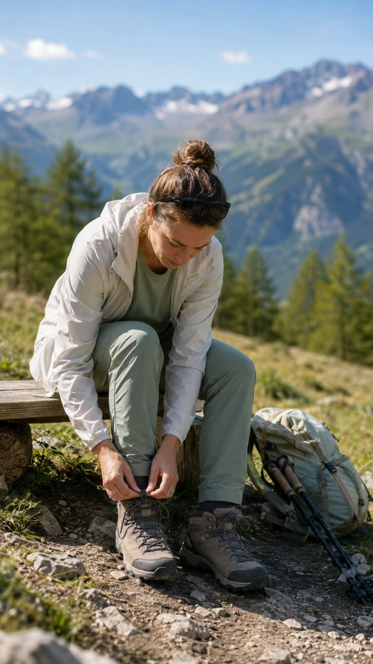
Even on trails considered easy, the high-altitude climate can catch you out. Always pack warm, waterproof clothing, sturdy shoes with good grip, a cap and sunscreen: the sun can be intense above 1,600 m, even when the valley floor looks cloudy.
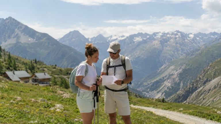
In your backpack, add a first-aid kit, a water bottle with at least 1.5 litres per person and an energy snack (dried fruit, bars). Mountain huts and refreshment stops are not always open outside July and August, so check in advance which ones will be accessible during your stay. In the mountains, never set off without a local map (IGN Top25 no. 3336ET “Les Deux Alpes, Oisans”) or a hiking app with the area downloaded for offline use — mobile signal can become patchy as soon as you leave the resort.
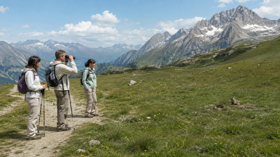
Finally, keep the mountain emergency numbers in mind (112 or PGHM), and follow the advice of local guides or hiking leaders regarding wildlife (marmots, cows, patous livestock guardian dogs) and the fragility of the natural environment, especially on high-altitude trails.
Mountain equipment and safety
Preparing for a hike in Les 2 Alpes also means thinking about logistics. Trailheads can be reached by the free shuttle bus (resort line), making it easy to get to the different access points: Vallée Blanche, the entrance to the Écrins National Park, or the Mont-de-Lans plateau. In peak season, a childcare service even allows parents to leave younger children in safe hands for a hassle-free active outing.
Remember to book parking where possible (some car parks are paid and fill up quickly in July and August) and allow for the approach time from your accommodation — distances can be deceptive on the hilly map of Les 2 Alpes.
Planning ahead remains the best protection against the unexpected in the mountains. Visitors who set off well equipped, well informed and on a route suited to the day’s weather make the most of the panoramic views and varied landscapes while avoiding unpleasant surprises. Local providers (equipment hire shops, guides, tourist office) are excellent sources of up-to-the-minute information, so don’t hesitate to draw on their experience. Finally, never underestimate the value of a good briefing before you set off, especially if you are hiking as a family or in a small group: it makes the adventure safer and adds to the enjoyment of your stay.
On this page
Stay tuned on Location2alpes
A Live Preview
to get a sense of what to expect before coming to Les 2 Alpes
Updated data
24 hours a day, nonstop
8 Strategic Perspectives
about the resort, the glacier, and the peaks
Useful all year round
winter, summer, weather, events, ...
The Flavors of Les 2 Alpes
Cozy dining, mountain cuisine, terraces with panoramic views, and welcoming spots: explore our top recommendations for great dining in Les 2 Alpes.
Inspirations
“The best memories are rarely planned.”
— Local Guide
Chapter
04
Final tips before you set off to avoid surprises
Choose the ideal route for your level and interests, safely, for a successful hiking experience in Les 2 Alpes.
Last-minute checks: local information, restrictions and access conditions
Before lacing up your boots, a quick check can prevent plenty of problems. Check which trails are open on the Les 2 Alpes website or with the Tourist Office: after heavy rain, some routes may be temporarily closed (for example, the Vénéon footbridges or the Pied Moutet trail). Information boards are regularly updated at each trailhead and in the resort centre — they also display any relevant safety or environmental instructions (fire bans, protected herds crossing, etc.).
It is also worth asking your accommodation provider or equipment hire shop whether any recent changes have been reported (rockfalls, fallen trees, tricky sections). Finally, make sure your GPS or hiking app is properly set up for the area, as mobile coverage remains limited at altitude and in some side valleys.
The Les 2 Alpes Tourist Office is the key point of reference: its advisers are trained and have real-time knowledge of trail conditions. Their documentation is updated daily, especially during snowmelt or heatwave periods. Don’t hesitate to consult the printed topo-guides available to buy or borrow, as well as the detailed route sheets provided free of charge at the welcome desk.
Local providers — mountain guides, equipment hire shops and partner businesses — are regularly informed about updates and restrictions. They are your best allies for practical on-the-ground advice or for booking certain guided activities (themed walks, night-time routes). Finally, check the digital information boards at the entrance to the resort and follow the official social media pages, which share live weather alerts, closures and discovery events. It’s a simple habit that helps avoid last-minute surprises.
Where to find reliable, up-to-date information locally
The first few minutes before setting off are crucial: check that bags are properly closed, that you have a first-aid kit, enough water and a fully charged phone. If you are leaving early, tell someone (hotel reception, a local contact) your planned route and approximate return time — an essential habit in mountain areas.
For families or groups, share the route (on paper or digitally) and make sure everyone is aware of a few key rules: stay on marked trails, protect wildlife and take your rubbish back with you. Even a short walk around Lac de la Buissonnière requires a minimum of preparation if the weather looks changeable.
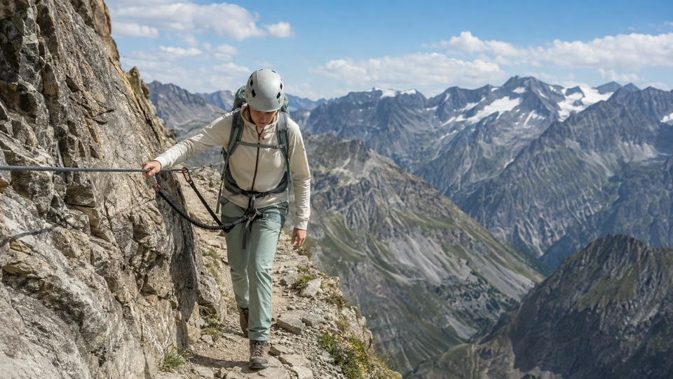
In short, local preparation, one final weather check and on-the-ground verification using local resources all help ensure relaxed hiking around Les 2 Alpes. From the topo-guide to the Tourist Office welcome desk, every source of information improves the safety and quality of your experience. Also consider booking ahead for some of the most popular excursions (via ferrata, guided outings), especially in high summer: places fill up quickly and these activities may be subject to daily quotas. Taking the time for one last check gives your holiday valuable peace of mind when facing the unexpected.
On this page
Location2Alpes Collection
Places we love to return to
Apartments selected for their location, comfort, and atmosphere, so you can enjoy Les 2 Alpes with complete freedom.
Plan Your Trip
to Les 2 Alpes
Discover our apartments, ideally located so you can make the most of your stay
Continue the adventure
Les plus beaux souvenirs commencent souvent après le dernier conseil
Conclusion
Preparing and choosing your hiking route in Les 2 Alpes is above all about finding the right balance between ability, enjoyment and safety. The trails in the area offer a rare range of options, whether you are travelling as a family, with sporty friends or simply looking for an easy-going discovery. Taking the time to assess your experience and study the duration, route profile and access seasons will help you avoid unpleasant surprises along the way.
Remember that mountain weather can change quickly, and good preparation should always include checking the conditions on the morning of departure. Take a map, a charged phone, plenty of water, and adapt your equipment to the season – even for hikes considered easy. It is also worth checking with tourist offices or local resources (signboards, official guides) for last-minute information on trail conditions or any temporary restrictions.
If you are hesitating between several routes, focus first on discovering the area at your own pace: it is better to enjoy a beautiful panorama or spot local wildlife on a suitable trail than to commit to a loop that is too demanding. Keep in mind that the mountains are never to be taken lightly, and a sensible choice will allow you to fully enjoy the varied landscapes of Les 2 Alpes with confidence.
Finally, don’t hesitate to ask for advice once you are there: local professionals and enthusiasts will be able to guide you towards the best experience according to the weather, what you feel like doing and your fitness level. Enjoy your hike and happy exploring!
What's next? Choose your next step
Key Points
The right choice depends on the pace of your trip and what you're looking for.
Keep your options open for impromptu evenings out.
A well-located place to stay makes dining out and getting around easier.
Practical information
Season: Summer / Winter
Reading time: 6 min
Area: Les 2 Alpes
Altitude : 1,650 m
Audience: Families, Couples, Groups
Live webcams
LES 2 ALPES
The Glacier
3,400 m above sea level
8 HD webcams
Continuous Updates
Check the weather all year round
Check out the weather, snow conditions, and atmosphere at the resort in real time.
Frequently asked questions
Find answers to the most common questions about our products. Julia ensures transparency, efficiency, and detailed information in everything we do.

Local Guide
Find the best moments from your article
The Location2alpes Blog
Discover tips, trends and ideas to help you prepare for your stay in the mountains, and discover fantastic places and addresses. Julia and the team regularly prepare new articles for you, so don't hesitate to visit our blog regularly.
Latest articles:




- Explore Les 2 Alpes
What would you like to explore ?
Get quick access to the resort's highlights, activities, top spots, and practical tips to help you plan your trip.